Before the development of modern weather forecasting, the average farmer, sailor, or event-planner had to get creative with weather predictions. Some methods were entirely superstitious, like the well-known American tradition, Groundhog Day, when thousands gather to watch whether Punxsutawney Phil the groundhog will emerge victorious from his burrow, bringing an early spring, or (as was the case this year) see his own shadow and return to his burrow, bringing six more weeks of winter. Meanwhile, for German-speaking countries around the 1800s, a simple setup of a frog in a jar with a small branch or ladder served as a natural barometer. There was a method to the madness: flying insects fly higher in warmer weather, so European tree frogs were known to climb to greater heights to catch them.
Modern forecasting systems are much more complex. While checking the weather may be as easy as checking your phone, behind the scenes, forecasting is a triumph of numerical modelling, curated by experts and powered by supercomputers. These models rely on constant inflows of real-world data to update and refine predictions, and the crown jewel of meteorological data collection is satellite systems. In the words of the MET Office, “Around three quarters of existing weather forecast accuracy is as a result of data from satellites.”
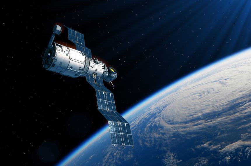
Satellite systems provide a bird’s eye view of the climate to complement ground-based observations. Capturing images in both visible and infrared light allow meteorologists to collect temperature data and observe weather patterns from above, whilst also providing incredible visuals for those at home. Readings of microwave and infrared radiation emitted by the Earth encode vertical profiles of temperature and humidity, providing crucial three-dimensional data for numerical models, which is otherwise difficult to obtain. Satellites can even send radar pulses to the ocean surface and infer wind speed and direction from the reflections – an enormous advantage when looking at global patterns.
These incredible systems have many uses beyond helping you to decide whether or not to grab an umbrella on a cloudy day. Aviation and shipping industries both benefit greatly from timely weather forecasts to avoid delays and accidents, whilst renewable energy plants depend on solar and wind forecasts for managing supply and demand. But one invaluable use of weather satellite data is to look beyond a 10-day forecast, into the future of the global climate.
Modelling climate change is uniquely challenging - the United Nations Framework Convention of Climate change has highlighted over 50 essential climate variables which are key to characterising the Earth’s climate, from water vapour in the air of the upper atmosphere, to groundwater preserved in rock and soil below the Earth’s surface. Having a long-term, calibrated, global collection of this data is vital for trend analysis, climate impact modelling, and forming effective mitigation strategies. Satellite programs are invaluable for this due to their unique global reach, capable of observing remote areas beyond the scope of ground-based or air-based sensors. Satellite imaging is useful for monitoring deforestation, whilst the ability to track greenhouse gas emissions enables transparency and aids in accountability. Satellites can even shed light on the ability of forests to absorb and retain carbon dioxide, by observing changes in forest biomass. In fact, research from 2013 found that 26 essential climate variables were “significantly dependent on satellite observations” – and satellite technology is only improving with time.
Overall, weather and climate modelling has advanced a long way from the old ‘weather frog’ techniques, and as satellite programs continue to evolve and merge with newer technologies, we can expect to see even greater triumphs.

/Passle/6130aaa9400fb30e400b709a/SearchServiceImages/2026-03-24-11-50-14-823-69c27a76ee2a9b041575cf70.jpg)
/Passle/6130aaa9400fb30e400b709a/SearchServiceImages/2026-03-19-16-31-17-625-69bc24d58863aa22076d740d.jpg)
/Passle/6130aaa9400fb30e400b709a/SearchServiceImages/2026-03-11-15-55-54-366-69b1908a16246e5d37819a7a.jpg)